
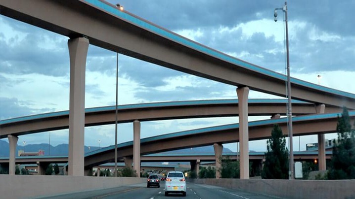
The phrase “world’s widest highway” sounds objective, but it usually compares incompatible measurements. One article may count only through lanes; another includes frontage roads, managed lanes, shoulders, ramps, or a toll plaza that spreads briefly before narrowing. Some measure pavement, others the full right-of-way. Without a shared definition and survey point, a global top-five ranking is not defensible.
First decide what “wide” means
- Through lanes: continuous lanes carrying the main roadway past a point.
- Total marked lanes: through, auxiliary, managed, and frontage-road lanes counted together.
- Carriageway width: paved distance, sometimes including shoulders.
- Right-of-way: the entire transport corridor, including medians, slopes, barriers, drainage, and adjacent roads.
- Toll-plaza width: a short fan of booths that is not representative of the highway.
A credible comparison states the metric, direction, location, date, and whether parallel roads are included.
Katy Freeway, Houston
Interstate 10 west of central Houston is routinely called the world’s widest freeway. The Federal Highway Administration describes a major reconstruction completed in 2008 on a twelve-mile section. The corridor combines general-purpose lanes, managed lanes, interchange lanes, and frontage roads. Viral counts as high as 26 usually add several of those categories together.
That does not make the road unimpressive, but it changes the claim. A frontage road with signals is operationally different from an uninterrupted freeway lane, and the maximum count may occur only near a complex interchange. The Katy example is most useful as a lesson in corridor design and induced travel demand, not as an uncontested world record.
Highway 401, Toronto
Ontario’s Highway 401 uses a collector–express arrangement through parts of the Toronto region. Parallel carriageways separate local entering and exiting movements from longer-distance traffic. At broad sections, counting every lane across both directions produces a large total. Yet the design is a network of coordinated roadways rather than one single undivided strip.
Delhi–Gurugram and other multi-lane corridors
Large urban expressways in India are sometimes included in widest-road lists, especially where service roads and interchanges expand the footprint. Again, a point measurement can exaggerate the normal cross-section. Official project documents are more reliable than photographs because lenses and perspective can make a corridor appear broader or narrower.
Beijing toll-plaza images
Images described as a “50-lane highway” in China commonly show traffic spreading across a toll plaza or inspection area. Booth lanes then merge into far fewer travel lanes. A toll fan may be extremely wide pavement, but it is not a continuous 50-lane highway. Treating it as one confuses a traffic-processing facility with the road beyond it.
Avenida 9 de Julio, Buenos Aires
This monumental avenue is often placed on highway lists, although it is an urban boulevard with intersections, transit infrastructure, and adjoining streets rather than a controlled-access highway. Its inclusion demonstrates how quickly “widest road,” “widest avenue,” and “widest freeway” become interchangeable online even though transport engineers distinguish them.
More lanes do not guarantee less congestion
Road capacity depends on bottlenecks, merging, incidents, lane management, vehicle occupancy, and connections at each end. Widening can initially increase capacity, but easier driving may encourage additional trips, longer trips, or development patterns that add traffic. Large rights-of-way also divide neighborhoods, increase runoff and heat, and require substantial land and maintenance.
A better question than “Which highway wins?” is “What job does this corridor perform, and at what cost?” Useful comparisons include people moved per hour, travel-time reliability, safety, access, emissions, land consumption, and integration with transit.
Sources: Federal Highway Administration: Katy Freeway; Texas Department of Transportation Roadway Design Manual; Government of Ontario: Highway 401; Federal Highway Administration: Traffic Trends.